Is it just me, or is the NZTA info about the Transmission Gully really really hard to find out? Let’s shed some light on the subject.
Here’s their map for the path of Transmission Gully.
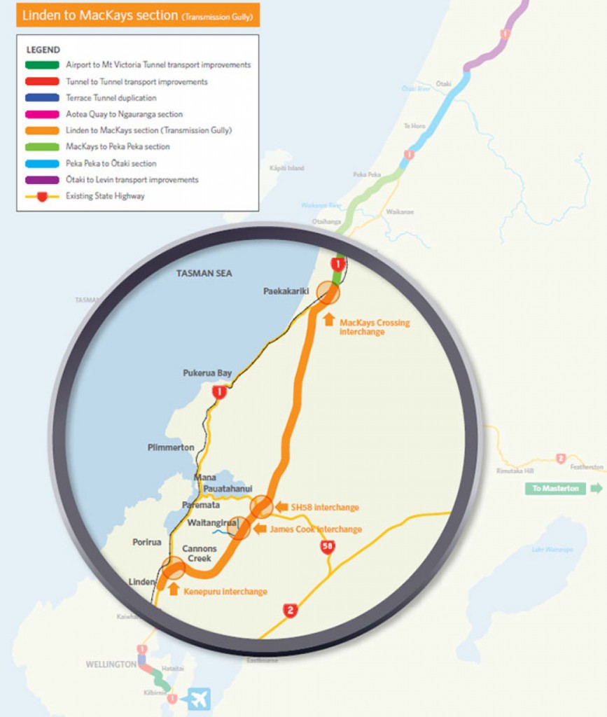
Notice anything missing? Like, maybe, the ground is missing? Just white space, a new highway magnificently floating in the ether?
As far as I remember, highways really don’t float much, and it all remains fairly unclear… despite them putting the “magnifying glass” on it.
Here’s their representation of the main link in from Wellington and Porirua, in to the start of Transmission Gully.
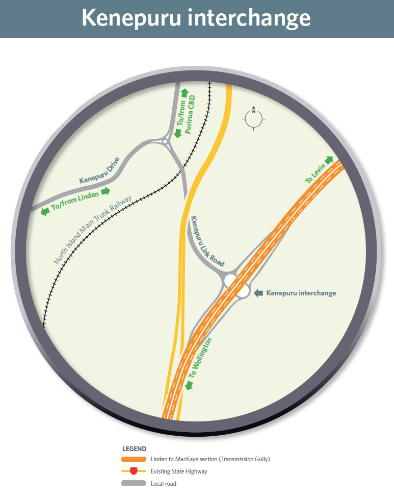
To my eye, that seems a little sparse on detail… a tabula rasa, as they say…
Here’s the historical justification for the route, based, apparently, on traditional maori trail routes through the region:
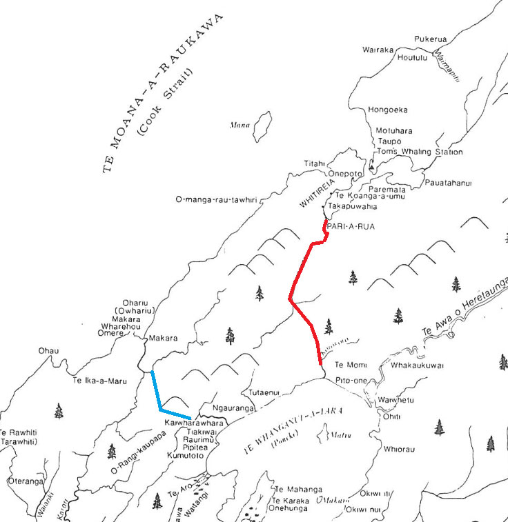
Actually, that’s a whole lot more informative than their current plan.
Of the route through Takapu Valley proposed last month, narry a sign on the official website for the project. Lots of documents, lots of writing, but no detailed pictures that I can find.
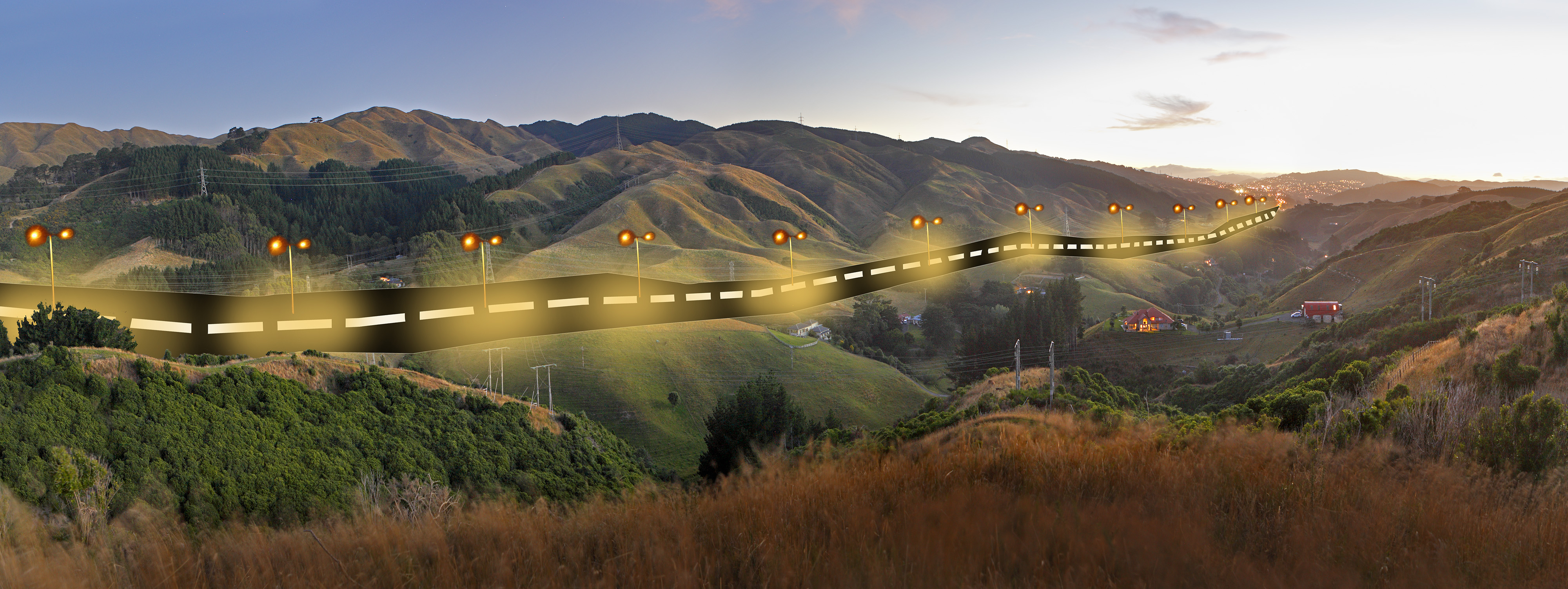
On the other hand, I have found a lovely pic from the residents of the Takapu Valley, as to what their valley may look like with a motorway zipping along the upper hills:
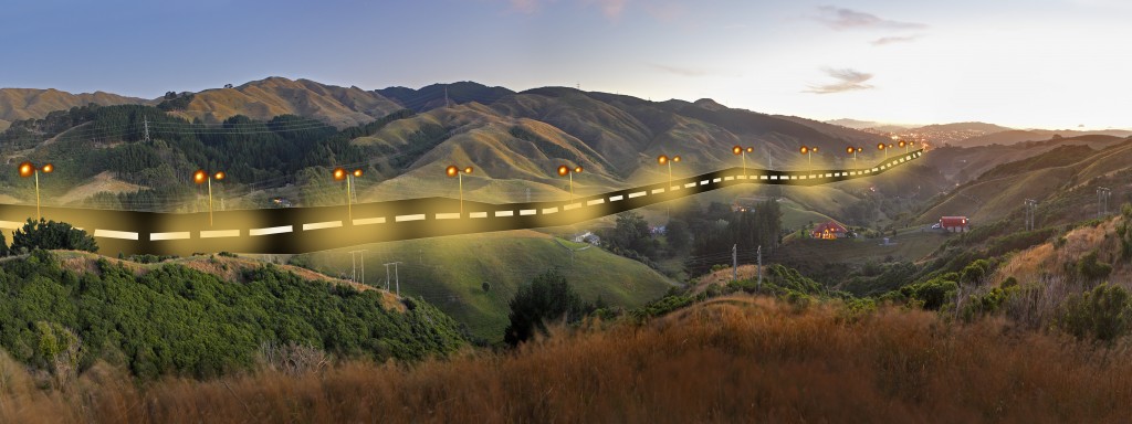
Well that seems nice and accurate.
Here’s a map that stuff ran, showing a very sketchy layout of the possible route – i can only presume this did not originate from NZTA.
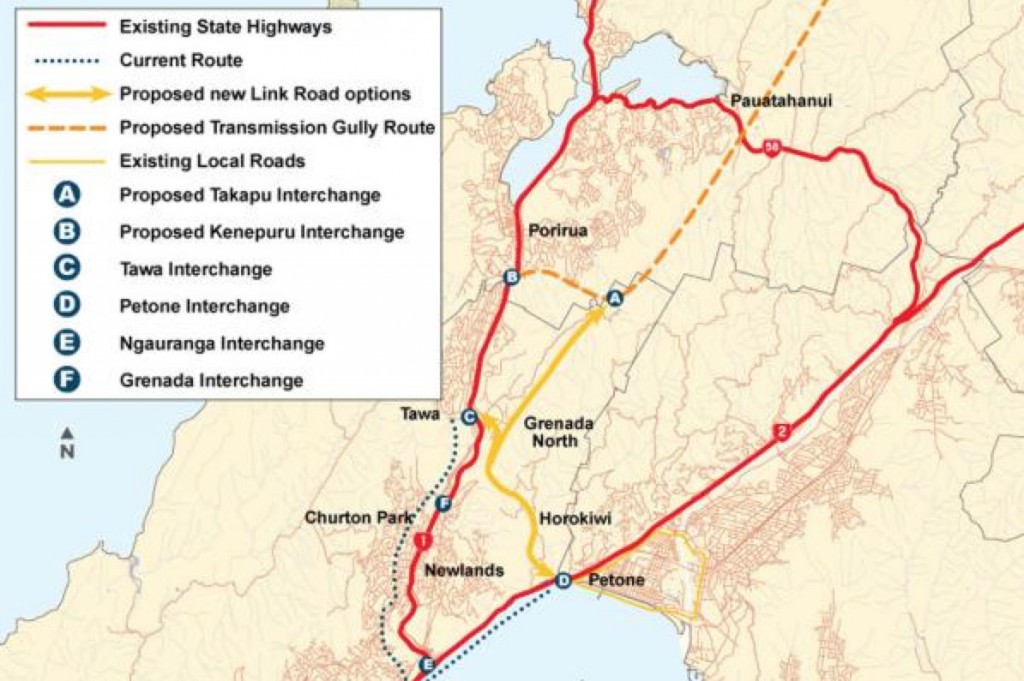
Even so, as inaccurate as it is, it still seems more useful than the official NZTA website.
Here’s a 3d that I managed to create, from the google map of the world, looking at the whole hilly Grenada / Takapu area. Far more useful in showing what is there, even if I do say so myself.
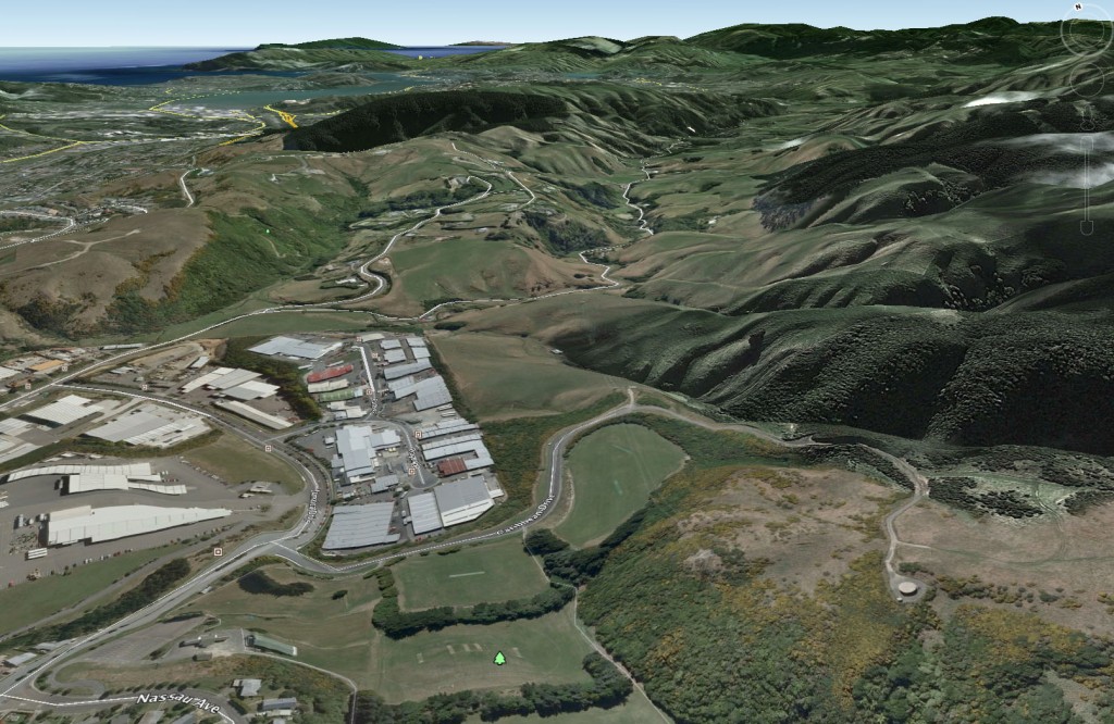
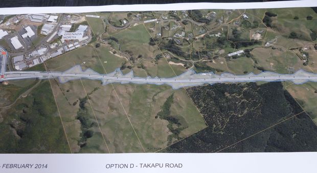
Of course, I can’t show the actual road route in there, as I can’t figure out where it might be going to go… and then I’ve found this pic, which shows what presumably is a motorway, but I can’t quite figure out how it is rotated around…
What about at the other end? No, not right down the Pie cock end, just the end near the Pauatahanui interchange. Have a look at the grab I got from google:
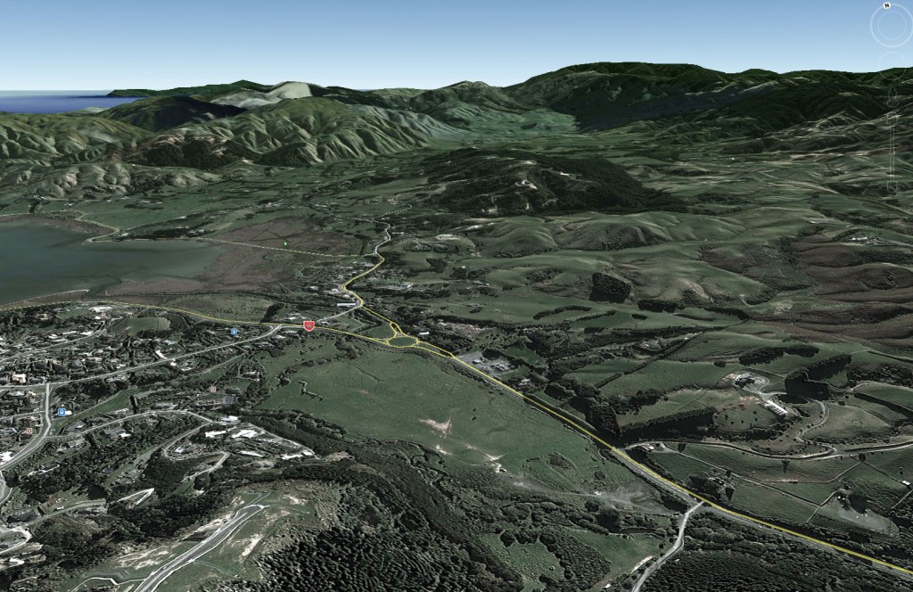
And now compare this with a clip I took from the official video reproduction of the route:
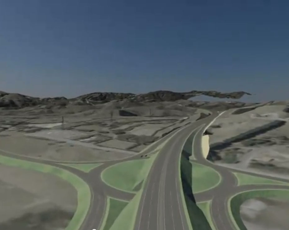
Everything is rather vague and indistinct, and… good grief – it’s huge! If you own a farm round there, be prepared to have it swallowed up…

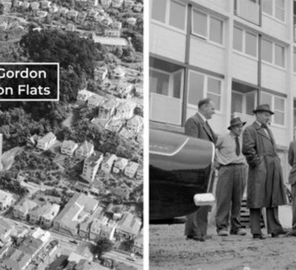

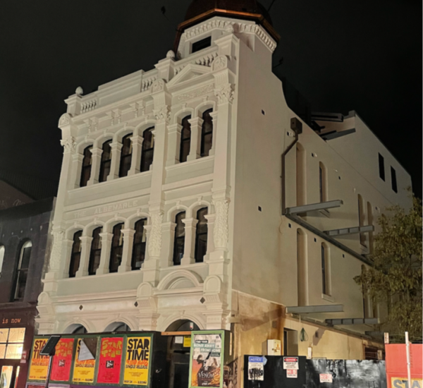
“As far as I remember, highways really don’t float much”? Yes they do, gracefully and effortlessly, with no adverse effects, right over Cambridge and Kent Terraces…
Oh, too droll Sir, too droll…..
Hi Max – there’s a website:
http://www.nzta.govt.nz/projects/petone-grenada-link-road/gallery.html
To give NZTA the benefit of the doubt, this is just a proposal at the moment, so no slick and accurate 3D renders and fly-throughs, but there is a plan with a Big Red Line:
http://www.nzta.govt.nz/projects/petone-grenada-link-road/docs/diagrams-part2.pdf
Julian – thanks for those references – hugely helpful for me to know that they are there, although I must say, your second reference is the most confusing diagram ever invented. No wonder people are lost! Obfuscation indeed!!
Dear Fran said last year that it isn’t about congestion (seeing as the greens helpfully pointed out that traffic numbers on the coastal route have been falling), but it is about route reliability – she fears the ocean claiming the current route: http://www.3news.co.nz/2014-start-for-Transmission-Gully-highway-construction/tabid/423/articleID/319402/Default.aspx
Route reliability then.
Well, seems reasonable until you combine images like these: http://cdn.3news.co.nz/3news/AM/2013/10/30/319402/transmissiongullyNZTA1200.jpg
http://4.bp.blogspot.com/_FLs7qz-WGnA/SxWWMh16U7I/AAAAAAAACdY/S417QNkGvkw/s1600/transmission+gully2.jpg
Julian – this may be “just a proposal”, but NZTA has produced detailed plans and “slick and accurate” fly-throughs of all the options: they were on display at the open day at Opus in Petone last Saturday.
Mike – are they on their website? Slick I can sort of believe – but accurate? never.
Opus are getting hammered at the Basin Bridge Enquiry, with their convoluted multitude of dissected options. I wonder if they will change their approach?
Maximus – I can’t see them, but the scoping reports at http://www.nzta.govt.nz/projects/petone-grenada-link-road/publications.html have lots of diagrams etc.
There’s an open day at Linden Social Centre, 10 Linden Avenue, 3pm-8pm today, which doubtless will have all the stuff that was at Petone – and there’s a kiddies’ play area too!
Mike – thanks for the tip about the meeting tonight – that was an entertaining evening! Need to write another post – this is a whole new clusterfuck opening up. Total, total madness coming up. NZTA sure do have an appetite for destruction!
m-d. – thanks for your three excellent links. I like the pic of the transmission Gully bridge on spindly hopeful legs, but I really do like that last link – the Trans Gully route overlaid with heaps of other info. Where did you get that from? Are there more segments of it on offer? I want to see what the route is from end to end, instead of NZTA’s current blank route maps.
I found it via a Google image search – it is near the bottom of this page: http://pennyandjamie.blogspot.co.nz/2009_12_01_archive.html
I don’t know where the authors of that blog picked it up from, or if there are more images like it…