Today’s post is a special one, contributed by regular reader Starkive
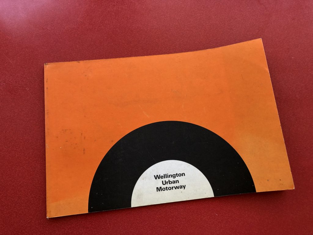
By 1972 New Zealanders were questioning the environmental impact of humans and their engineering. A plan to further raise Lake Manapouri – already flooded for Comalco power – triggered a national reaction. The proposed extra dams were damned by hundreds of thousands of petitioners. An advertising jingle for fibreglass batts went to Number 1 on the charts. The greening had begun.
It might have been coincidence, but the NZ Institution of Engineers launched a new Environmental Award the same year. The inaugural, and possibly only, Award (Google reveals no others) went to the Ministry of Works for a project which was judged “an outstanding example of a design in which care and attention had been given to environmental factors” and which would “give a feeling of belonging to Wellingtonians”. We are speaking of course about the Wellington Urban Motorway.
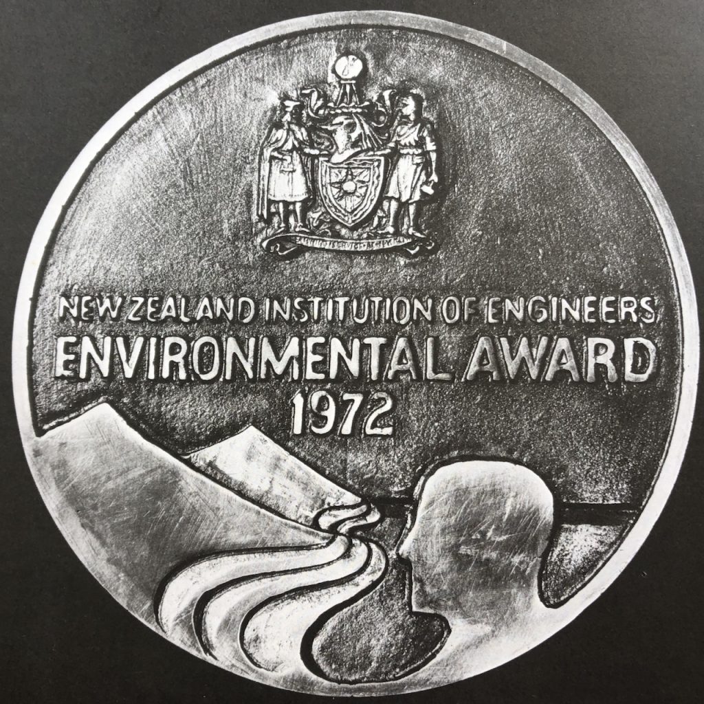
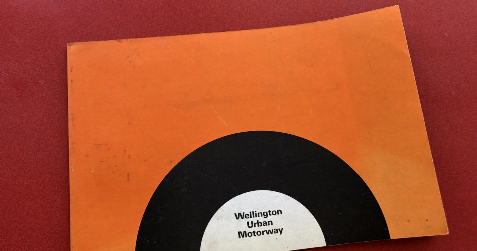
This honour might have been long forgotten, even by Google, if the MoW had not commissioned a handsome booklet to skite about it. At least one example of the publication has survived these 50 years to turn up in a second-hand bookshop with a fascinating snapshot of 1970s aesthetic, social and environmental values — and traffic volumes.

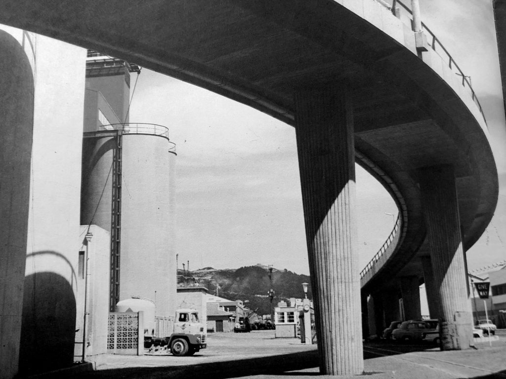
The illustrations combine dramatic construction shots and colour vistas of the motorway in action, accompanied shot with sometimes lumpy lyricism. “While the driver is encouraged to keep his eyes on the road, and his mind on his driving, his passengers see the city of Wellington nestling in the basin of hills on the far side of the harbour – one of the finest views in the world.” Or, “the overbridge is designed to dominate by its massive yet gracefully flowing lines”.
The most telling detail, though, can be found in the aerial photographic map.
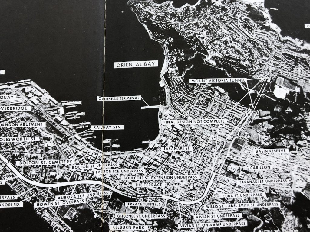
Here it’s plain that the MoW had plans to extend its medal-worthy environmental care and protection from Hill St across Te Aro to Mt Victoria. The work to date had been all about sensitive consultation with the inhabitants of Thorndon and the Bolton St cemetery. As the booklet says, “the Department has endeavoured to display tact and sympathy in dealing with members of the public and private owners.” It had also tiptoed over the rail yards and done a lot of tree planting.
The final phases, as laid out in the text, were to be about preserving the cityscape. An estimated 28 million 1972 dollars would have to be spent, it says, to get from Hill St to the Basin Reserve–providing four lanes of tarmac, a piazza, a total of 14 overbridges, twin Terrace tunnels and a further tunnel from Taranaki St to the Basin. The map seems to show that the result would be a cross-town cut taking Highway 1 under Vivian, Willis, Abel Smith, Cuba and Taranaki Streets, leaving them free to go about their inner-city business. Seemingly, it was self-evident to the engineers at the Ministry that separation was essential, even in the days when the motorway was being used by only a single Kingswood station wagon.
The plans, though, carry a built-in caveat, a neatly trimmed slip of paper hovering over Kent and Cambridge Terrace bearing the words “FINAL DESIGN NOT COMPLETE”. Wellington’s epitaph?

Fantastic, thank you for this post Starkive – much appreciated. Great pictures! And Writing !!
I recall hearing that the architect Helmut Einhorn, who was working for MoW, was opposed to it. Nevertheless he had to work on the project and can be thanked for the beauty of the sculptural ‘heroic noble’ columns and stone retaining walls.
Note also the neat on and off ramps at Bowen St – what a boon they would have been (tactfully and sympathetically done, of course).
Would’ve been so amazing with all that Karori bus, cycle and car traffic coming past the ramps. Amazing traffic planning.
A sneaky cut and cover along the foothills route would be ok – just need to minimise the interchanges and ensure the bulk of the route can be built on. Would provide grade separation at the basin, and move the cross-city traffic originating outside Wellington off our streets. It’s all the swooping bridgy shit that’s the issue.
Thank you Starkive – great reading. Over the break we have been reflecting on all the great stories from last year. Many of which, comment on the unsustainability and social isolation caused by our large, car based cities, with small populations. And from this, one question. How would Wellington and NZ have turned out, if Spain had signed the Treaty in 1840 with Iwi leaders?
More donkeys, priests and coup-happy colonels?
I suspect, CuddlemeMrGently, that the nation may have missed out on the beauty of gorse – that Golden Gift of Empire.
The Genesis for all of this was the 1963 “Comprehensive Transportation Plan for Wellington, New Zealand” by US transport consultants De Leuw, Cather.
The WCC have helpfully archived their masterplan here
https://archivesonline.wcc.govt.nz/nodes/view/540419
But the idea of a multi lane separated highway that crossed the Te Aro flat to Mt Vic still continues even 60 years after this initial report,
The Mow picked it up in the report highlighted today… then it slumbered though the lase 70s and through the 80s recession.. but re-emerged as Transits “Tunnellink” proposal in the 90s … This again was rejected by again returned in 2021 as a “long tunnel” in the long list of LGWM projects,
Its been killed off again with the current chosen LGWM work program, but I’ve got a fiver that says it will likely come back around again ( esp if the Nats win later this year)
plus ça change, plus c’est la même chose….
Gabites & Beard put together a alternative to the De Leuw Cather scheme with the help of the wonderful Bill Alington (the irony being that Alington was actually working for the MoW at the time though I believe his wrist was slapped by them at the time). Their idea was more of a dual-carriage affair and while I doubt it would have been able to cope with current traffic levels, I do like the concept they had of running the route along Grant Road (probably nibbling into the Town Belt a bit like Ruahine Street does in Hataitai) before crossing over Thorndon and going under (rather than through) the Bolton Street Cemetery.
You can read it here (along with lovely visions of how Lambton Quay etc might look “in the future”).
https://wellington.recollect.co.nz/nodes/view/4412