I’ve discovered a disturbance in the Matrix. Nothing as simple as a cat walking past twice, or a choice of red or blue pills, or a conversation with The Architect – I’ve discovered that Google is trialling a new google maps thing with Auckland, and it has not yet been spread to Wellington. Or, indeed, the rest of the world… Google are using NZ – Auckland – as a test bed for the world. Check this out.
Auckland and Wellington at the same scale, right? So far, so similar…
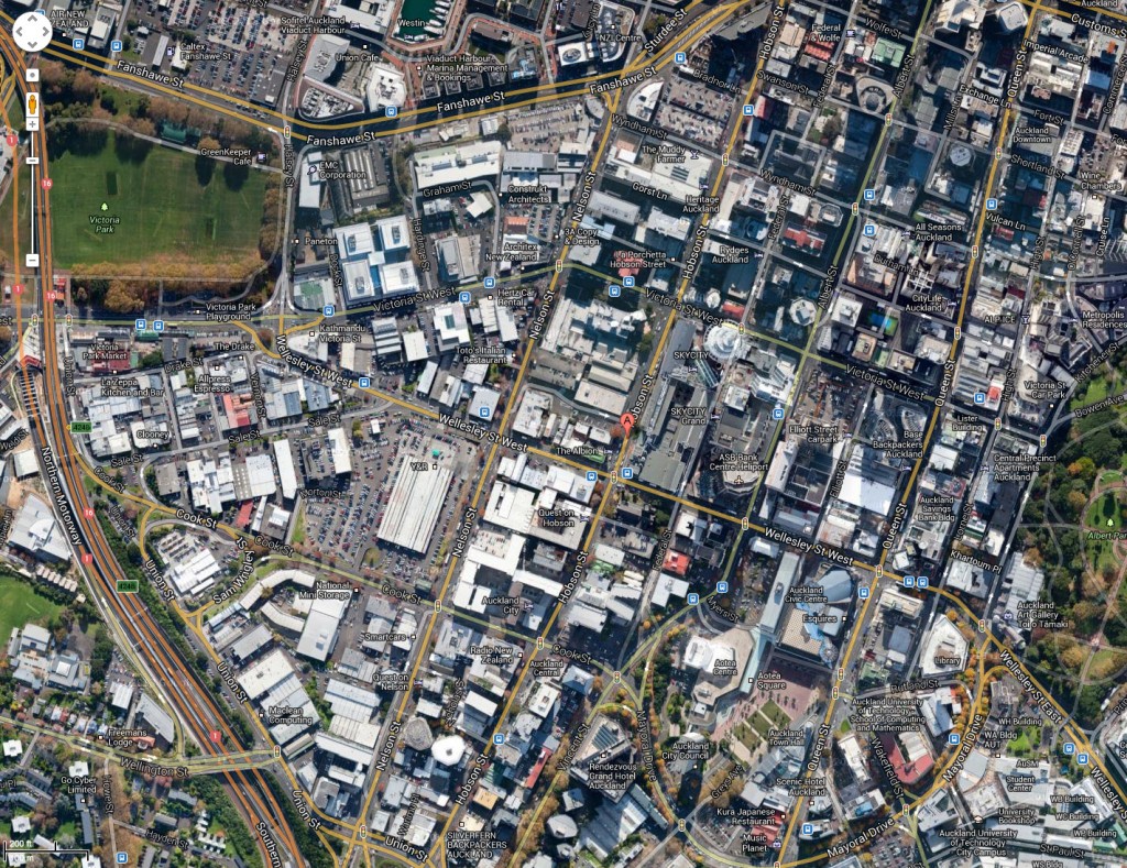
Auckland above, Wellington below:
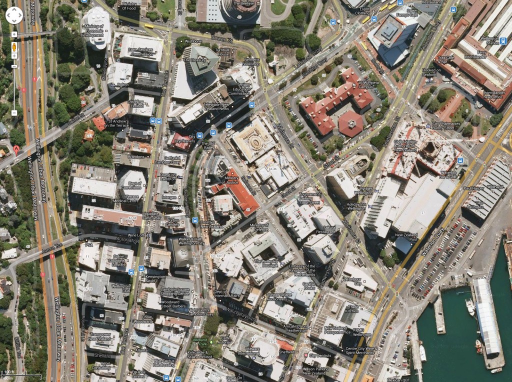
You can see that they have just used aerial mapping and stitched them together. A plan still looks like a plan… So, let’s zoom in a little, one click more, to the next scale boundary. Wellington first:
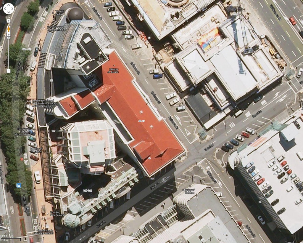
That’s the way we’re used to seeing it – buildings slightly askew.
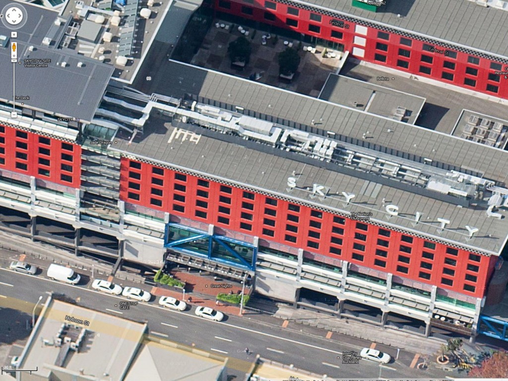
But then here is Auckland, subjected to the same one click more zoom: radically different!
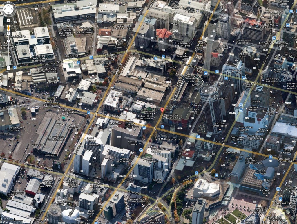
Now that’s interesting! They have gone and done an Apple Maps – and posted the building facades onto a 3D model, so it looks real (ish). There are still a few wrinkles to iron out – note how the SkyTower leans one way and the ASB tower leans another way… all looks a bit cack-handed if you look at it closely, but for a tourist, or a nosey architect, it’s great!
And then when you spin it round, you get to see each side of the building, in birds-eye mode! Cool! Is this a world first? Have we discovered something new?
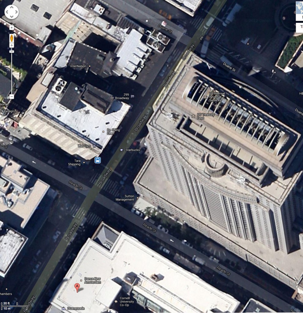
You can’t even do that in New York yet! They’re still stuck on the old-skool method, where you can see the joins between the blocks by the way the buildings bend and turn…
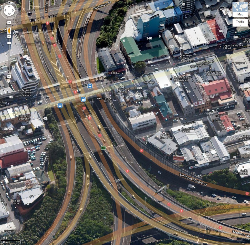
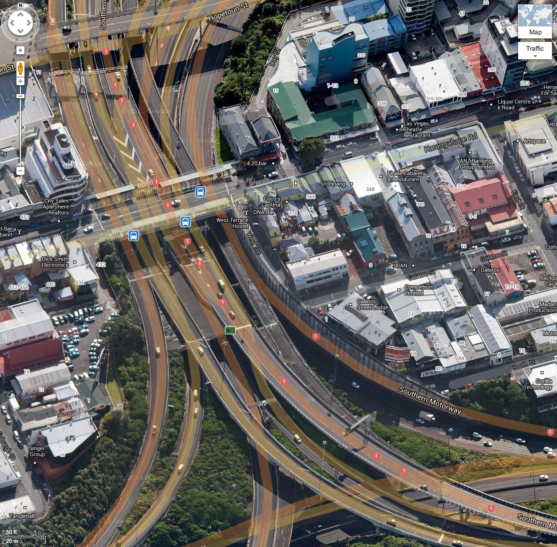
And at least the google team have solved the issue of bridges, unlike the poor old unready Apple team…. (speaking of which – big Apple announcement tomorrow? Wait and see!).
All images thanks to google, care of Larry and Serge…
Post-script: For cleverness, Seamonkey gets his / her name in lights:


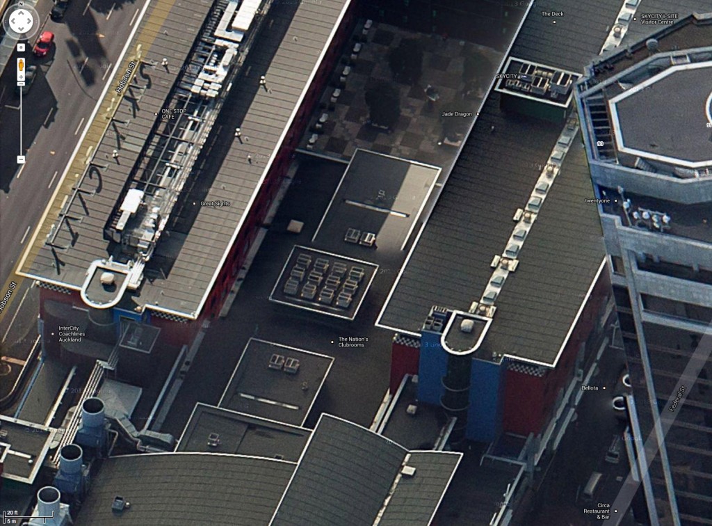
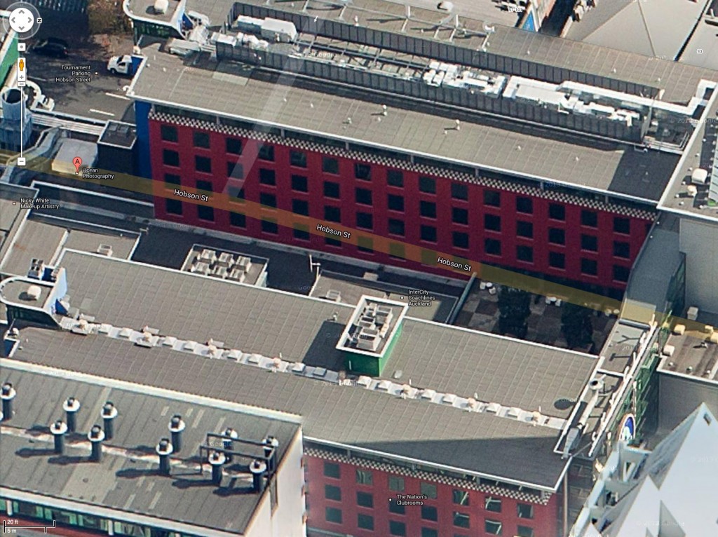
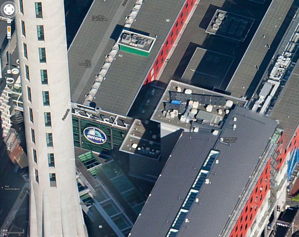

Err nope, this “bird’s eye” 45 degree mapping has been rolling out for major cities around the world for the past couple of years,
It replicates a feature bing maps has had for many US cities for a while..
http://readwrite.com/2010/07/09/google_maps_gets_birds_eye_view
KA-BLAM!
http://googleblog.blogspot.co.nz/2009/10/introducing-google-building-maker.html
http://apcmag.com/melbourne-goes-3d-ish-in-google-maps.htm
http://support.google.com/gmm/bin/answer.py?hl=en&answer=1100948
Bugger. Aaah well. Is there a reason why Auckland has it and New York doesn’t? I would have called New York more of a major city than Auckland…
or is it because that Readwrite article says it is “currently only available in a select number of cities in the U.S. and South Africa” – and there are now so many South Africans in Auckland that….
Thanks to clever Green Welly and (pink?) SeaMonkey Madness, I’ve discovered that i have not found anything exciting at all. Except to say that the Google list of 3D cities is wrong, as they say New York is 3D (when it clearly isn’t), and that Oceania has the great total of two cities (Melbourne and Launceston), so I shouldn’t feel too miffed that Auckland is now added to that list, as Sydney isn’t there either…
I got an invite to the Maps beta and it was working fine for Wellington 3D, but I’ve just gone back in and it’s old style 2D with a note I’m in Lite mode. Ho hum. . .
It may have something to do with all the hullabaloo over Google selling SketchUp to Trimble recently? Who knows.
Google did this when they dropped sketchup. Major Euro cities are also available, even Manchester, for Coro fans…
… that was the ipad / applemaps – not google – re Euro cities…sorry
Google sold SketchUp? Really? I heard nothing about that!
My worldwide network of highly paid spies and non-governmental unclassified spooks have let me down. And who the heck is Trimble, apart from being a Northern Irish Minister for Peace and Reconciliation or some such?
Some cool IoS map stuff ups…
http://thecreatorsproject.vice.com/blog/glitches-in-ios-maps
What is apparent from your aerial photo of the Spaghetti Junction in Auckland, is that the Nelson St overbridge is now unused. It is about 200-300m long, two lanes wide, has a slight kink and is completely unused. Just strikes me that as it is surplus to requirements in Auckland, and Wellington apparently has a need / desire (OK, those points are debatable) for a 300m long concrete overbridge, with a slight kink, that perhaps NZTA could give it away to poor relation / dying city / buzzing urban metropolis Wellington. Just saying…
If you are taking part in the GCC Get the World Moving waliking event, the route planner on the site allows full 3d/birdseye/overhead views of Wellington etc.
It even switches between the different views on request.
Only problem with the birdseye view is that streets sometimes appear slightly out of place – and this is for the world as a whole 9I’ve checkec other places on the map)