
Tick tock, tick tock. Apparently the clock is already running – we have been given a deadline (not far away) and an ultimatum from our lord Bish Bash Bosh the Mulleteer, that Wellington is going to face certain amalgamation, and either we do it ourself pronto, or the Bishop will do it for us. Cos, apparently the existing system is not working.
There’s a simple answer, and right off the back I would go to that: Wellington, the Hutts (both Upper and Jabba) and the Porirua should all unite as one.
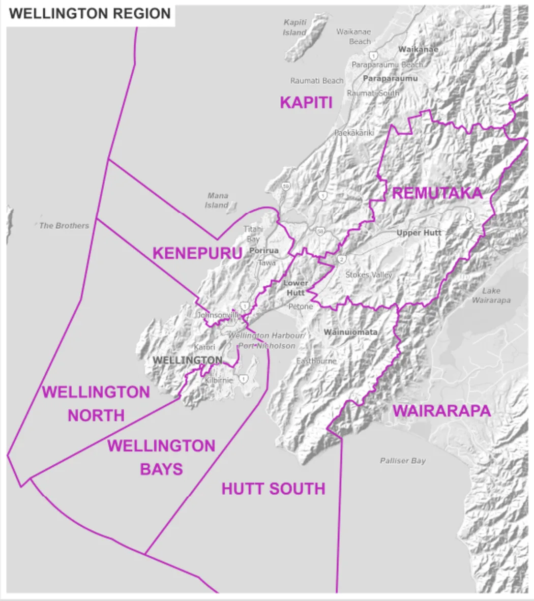
Wairarapa should combine Featherston, Cartertown, Geytown, and Masterton with Martinborough and maybe even Eketahuna, to become another larger organisation, but I don’t think that we should really have them join us down here.
So far, so easy. The real question comes when we consider the Kapiti Coast. Does Pukerua feel part of Wellington, or further north? Def part of us. Does Paekakariki feel part of Wellington? Absolutely, yes, thats us too. What about Paraparaumu? Yes, that too. Waikanae? That feels more like it is the edge, but it is still us. Levin? No way. Levin and those north should partner up with Palmerston and other flat-landers and swamp-dwellers.
But perhaps we need something more sophisticated and advanced rather than just a fish pontificating (you know that the mark of the Pontif is that of a Fish, don’t you?).
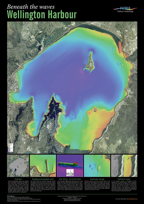
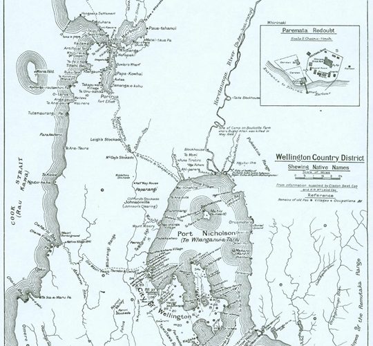
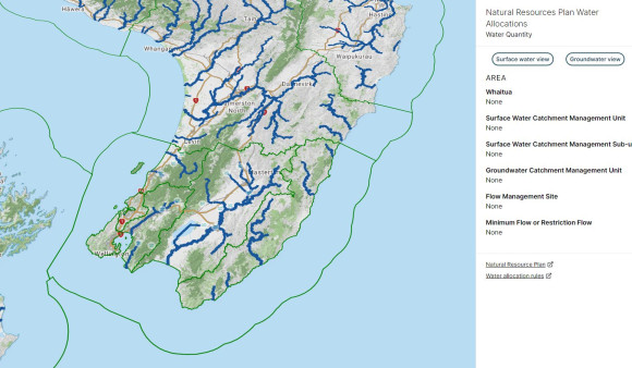
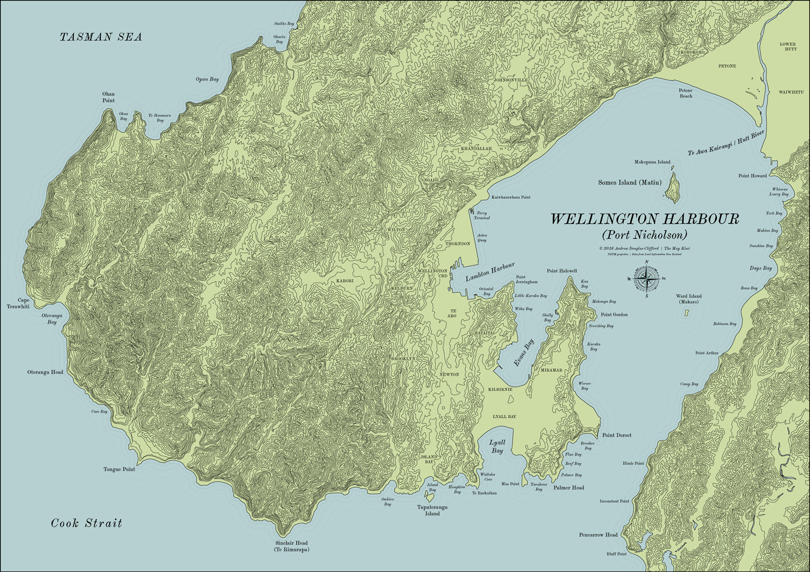
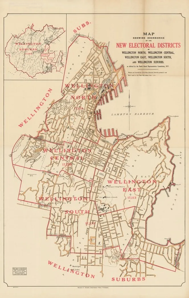
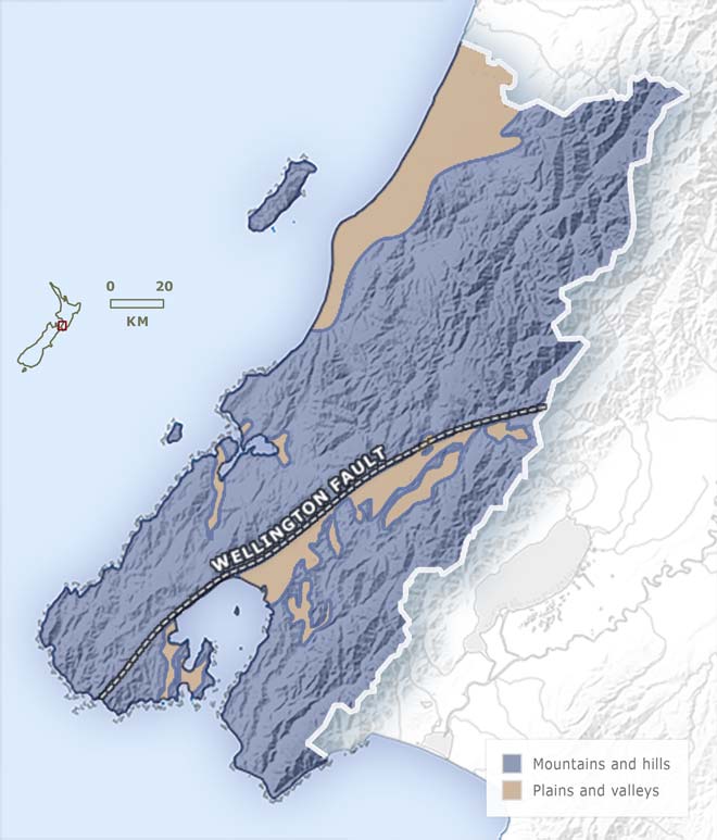
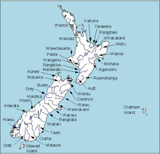
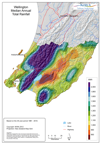
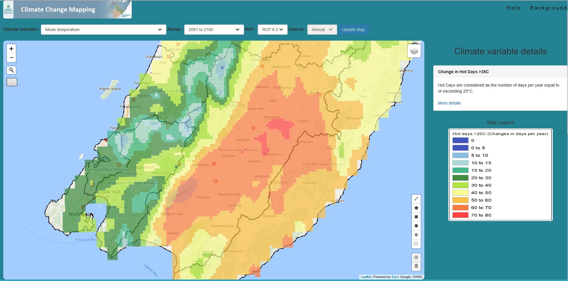
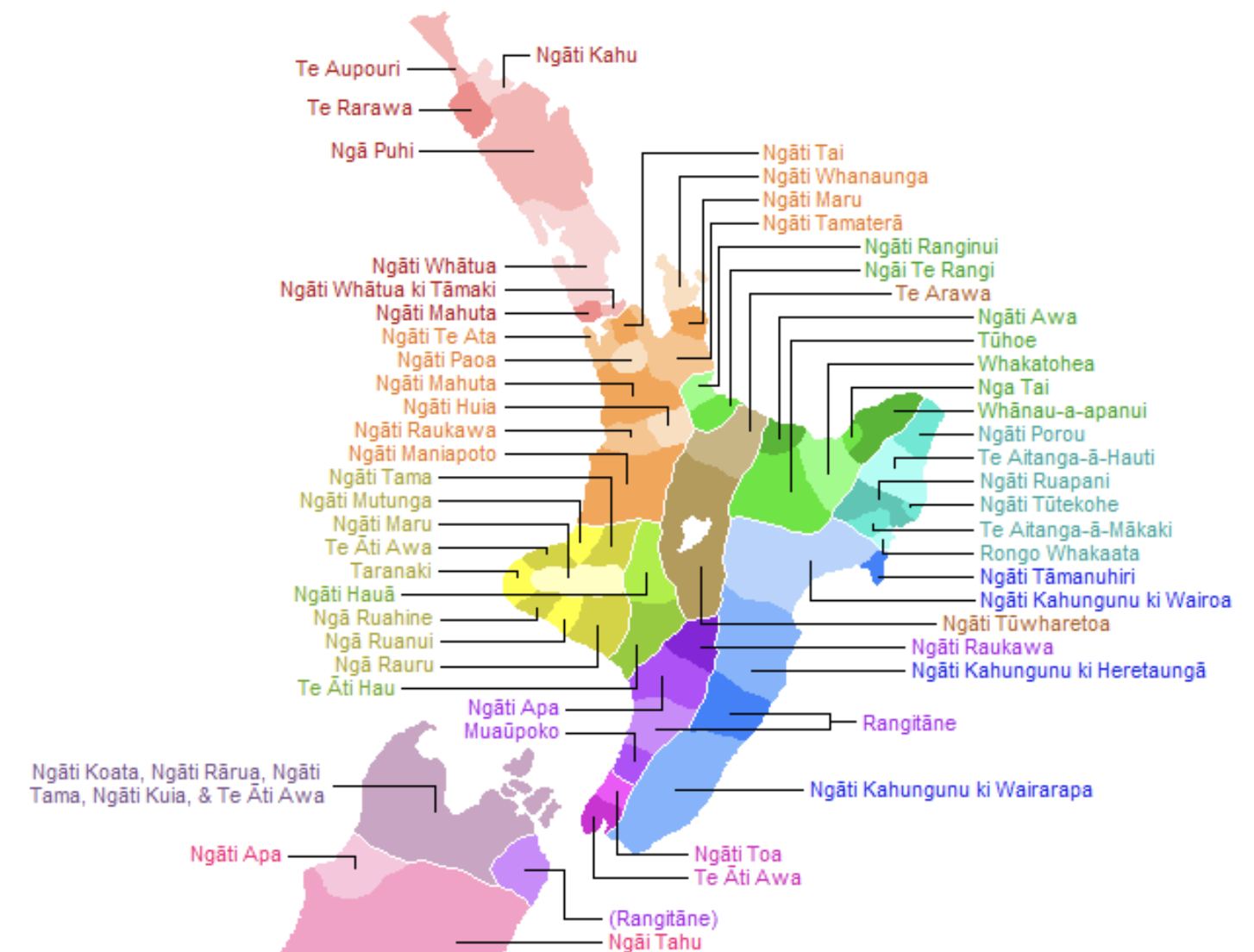
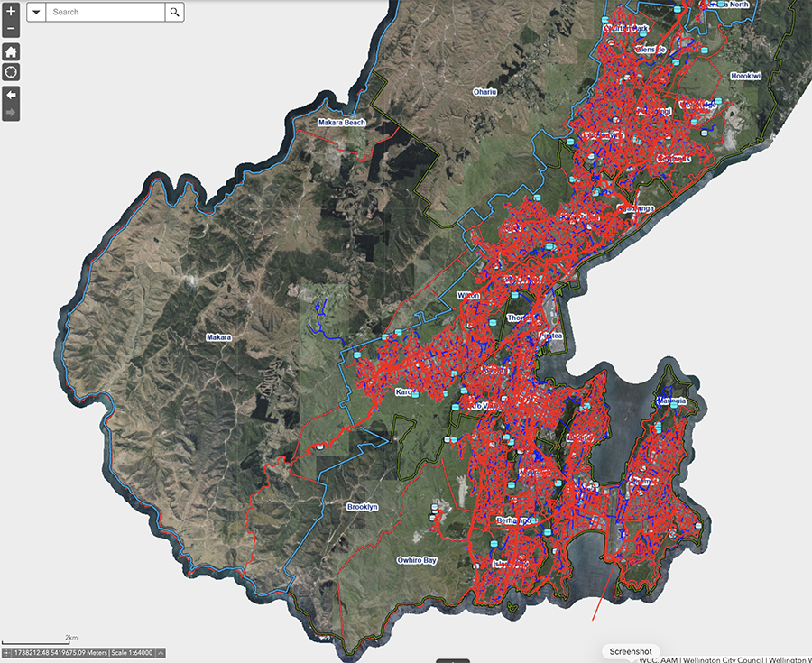
Maps. We need maps. We need natural boundaries. Existing boundaries. All the boundaries. Maori boundaries. Pakeha boundaries. Flying bird boundaries. Electoral boundaries. Water boundaries. Sewerage collection boundaries. Yuck. Mountains! Streams! Lakes! Harbours !!!
OK – I’ll go research some boundaries, while you have a chat. In the mean time, here is our Mayor, A Little.

I think we should claim the upper South Island and put a toll on the cook straight.
Fear makes for strange bedfellows. Kapiti of course, is not a single entity – southern Kapiti is afraid of Otaki, and G*d only knows what Wellington would make of it.
You’re absolutely right there !! Otaki is a stronghold for a couple of iwi and has a proudly Maori wananga, whereas Paraparaumu seems to be a place for predominantly retired Pakeha suburbanites. The common factor is the great Kapiti weather up the coast, and that everyone up the coast seems to be there because they want to escape away from Wellington.
This is small-fish thinking. How about we employ some big-fish thinking? Imagine a big fish that can think big thoughts and generate true synergies to drive innovation, growth, and prosperity. A fish that has sufficient heft to push back against central government meddling and to demand concessions. I’m thinking that the merger of the Manawatu, Tararua, Wairarapa, Hutt Valley, Wellington and Kapiti Coast would be a good starting candidate for amalgamation. It’s all connected by rail, there’s a diverse range of resources and land-uses, and there’s scope for developing some genuine long-term economic synergies, Once upon a time we used to have a degree of provincial government: perhaps a bit of central government devolution to big-fish provincial government could be the path to a better future? There’s probably room for 4-5 genuinely big fish in the North Island: at the moment there’s only one big fish that gets to command all the attention, and all the other fish are minnows plagued by little-fish thinking.
Clamobactor – great comment, and yes, you may well be right. I am but a small fish and so I only think in terms of small fish – but I do get what you are saying.
I think the experience of Auckland shows what can happen, and not necessarily in a good way. I often wonder about the people who live in what used to be the Waitakere, or the Manukau, and the other parts that used to be outside of the Waitemata branch – has anyone ever heard of anything happening in Auckland for the last few years that does not happen in either Britomart or Wyndham? If you were living in Onehunga or south of Mangere Bridge, would you be happy to just get a diet of Auckland-as-Waitemata Harbour pushed down your throat, or do you hanker after something more?
Out here in the Rapa a lot of interest groups are divided along the lines of water catchment – you guys probably already knew all about it but it was news to me when I moved
In regards to Clamobactor’s comment – we are only 5million spread fairly thinly by world standards, some amalgamation in terms of efficiency makes a lot of sense
Keep an eye on your stuff when in Otaki – I built a childcare centre there a few years back and the local crooks stole our water supply hose, as well as anything else even when it was nailed down
https://www.interest.co.nz/property/139059/carrot-and-nudge-how-housing-minister-chris-bishop-wants-rewire-housing-incentives
This has not gone away – in fact, it is more important now then ever.
So it may be well worth your time if you go and have a look at this video – watch the whole thing:
https://www.greaterauckland.org.nz/2026/07/14/how-we-got-the-crl/
There’s a whole raft of answers in there for the future of Wellington…